swissBOUNDARIES3D as GeoJSON
swissBOUNDARIES3D is an open dataset that contains all national, cantonal, district, and municipal boundaries of Switzerland.
I converted it to RFC 7946 GeoJSON and made it available at labs.karavia.ch/swiss-boundaries-geojson.
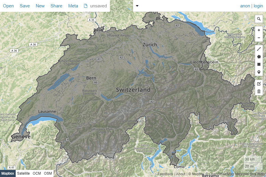
This makes it usable with a variety of tools, e.g. you can show the national boundaries of Switzerland and Liechtenstein on geojson.io:
More applications hopefully coming soon…
You can find the conversion code on GitHub.